How to do table join in QGIS ?
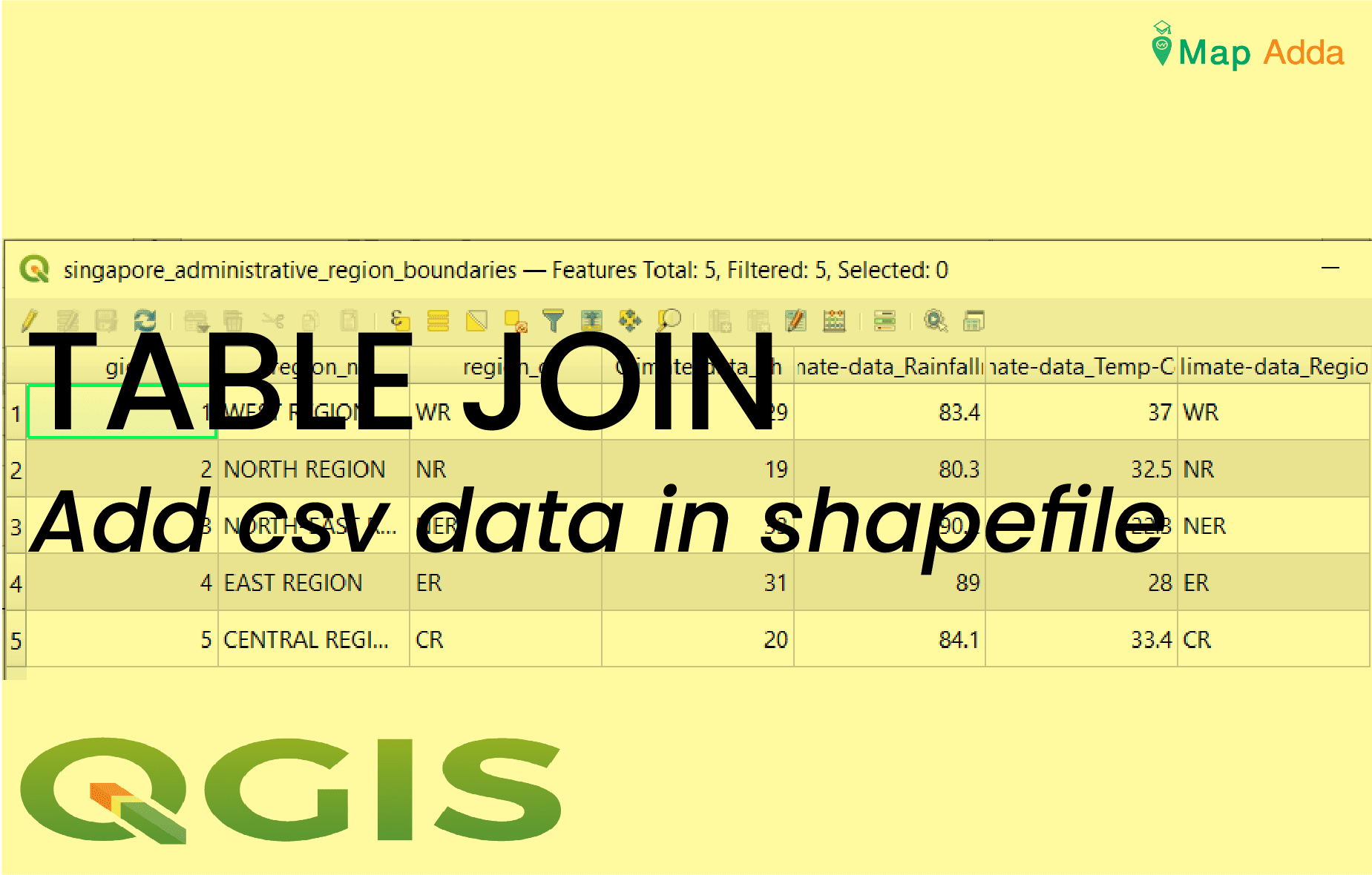
A join is usually used to attach more attributes to the attribute table of a geographic layer.
For calculating LST from Landsat-7 ETM+ we would require thermal bands B6 from given satellite imageries. This tutorial will use collection 2 level 1 product with landsat product id “LE07_L1TP_142041_20030311_20200916_02_T1” of acquisition date 2003-03-11.
Story about mapping of Ponds of Chhapiya. How the task born, used methodology for performing the task, significance of obtained data and many more.
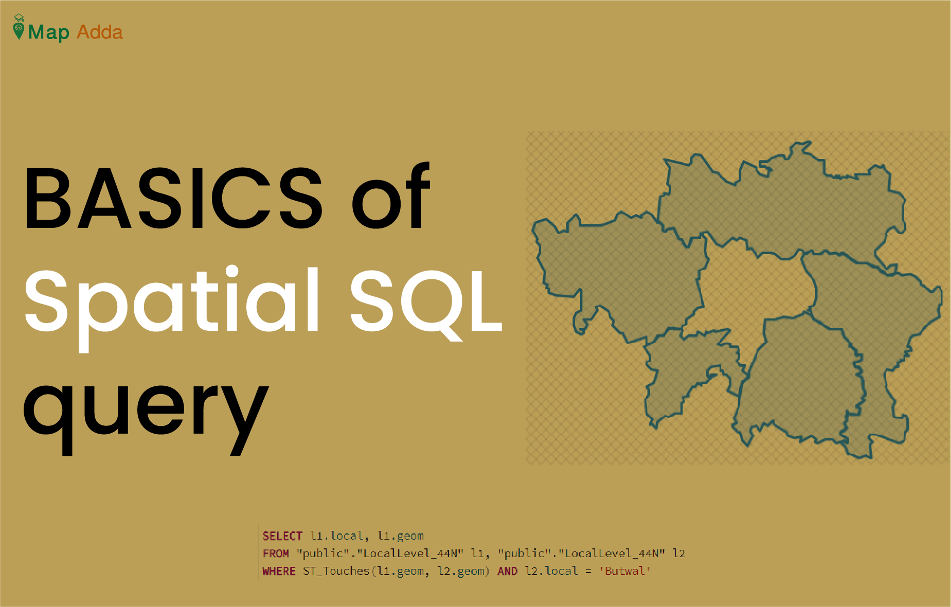
Spatial query refers to the questions asked to a spatial database containing spatial data through set of commands (SQL). The questions may be like ‘what are the neighbouring local levels […]
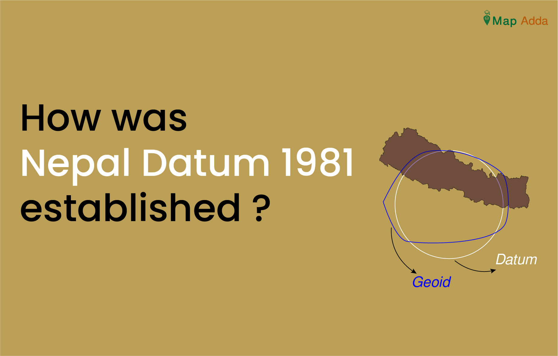
Nepal Datum was established with the collaboration of United Kingdom’s Directorate of Military Survey, Ministry of Defense (MODUK) by Survey Department of Nepal. It is a precise and comprehensive geodetic network of Nepal.
Despite having sufficient controls established by Survey of India(SOI) and other various institutions over that time it was not sufficient to meet the modern mapping and engineering demand. Due to this extensive geodetic network was needed and establishment of this network was undertaken by British Military Surveyors.
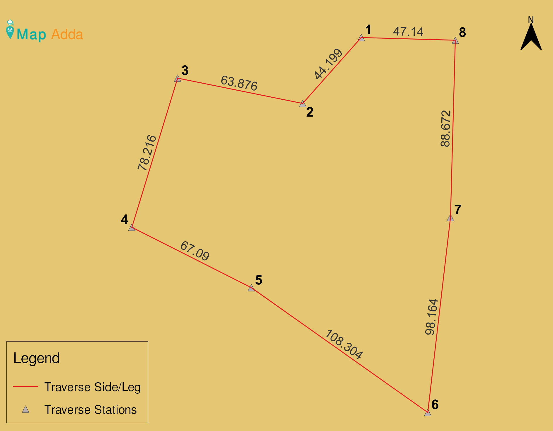
Calculating independent coordinates of traverse station is a hectic process involving many steps. In this article, I’ll be explaining each steps in detail.
I’m a geomatics engineer. When I passed out from my college, I didn’t know clearly what to do? What is the next step after being passed out? I was pretty confused and worried about my career. I used to text my seniors, call and visit them personally for suggestions. This article will help all the freshers to choose their career wisely.
Survey is the first step before any construction. It requires time and effort to collect a desired data and its difficult to undo the survey. So, here are my of […]
Projection is the process of transformation of higher dimensional space (3D) into a lower dimensional space (2D). If we talk about measurement, Projected coordinate system is more accurate than Geographic coordinate system. It is one of the frequently done task in GIS.
There are many methods or sources for obtaining contour like cartographic source (digitalization of old topo map), stereo-pairs, lidar data, photogrammetric methods, GIS softwares etc.
One of the data source for contour is Digital Elevation Model (DEM). In this tutorial we will learn how we can get contour through DEM in QGIS. Follow the following steps: