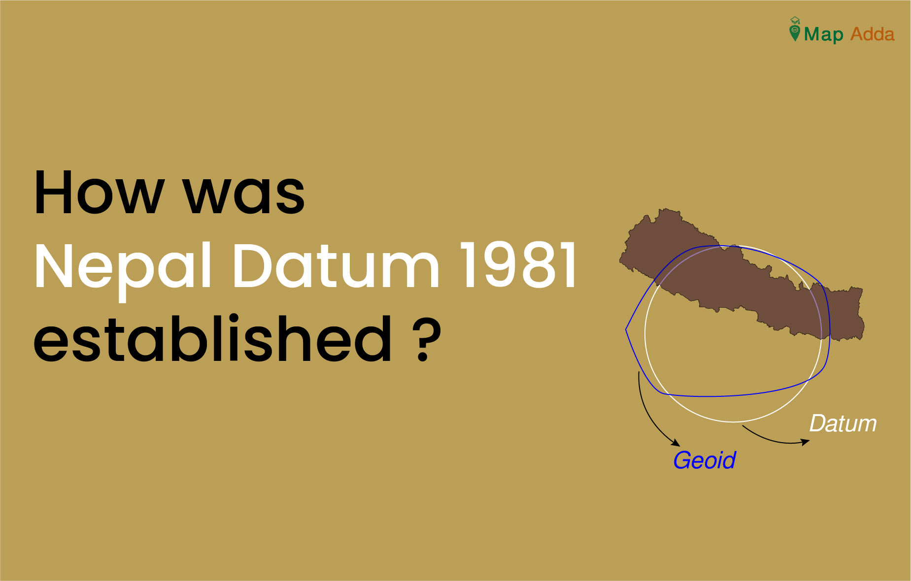
Nepal Datum was established with the collaboration of United Kingdom’s Directorate of Military Survey, Ministry of Defense (MODUK) by Survey Department of Nepal. It is a precise and comprehensive geodetic network of Nepal.
Despite having sufficient controls established by Survey of India(SOI) and other various institutions over that time it was not sufficient to meet the modern mapping and engineering demand. Due to this extensive geodetic network was needed and establishment of this network was undertaken by British Military Surveyors. The aim of the project was to establish first order geodetic network (series of precise trigonometrical points) using Doppler satellite positioning technique through which lower order controls required for survey and mapping could be established throughout the country.
The work was undertaken around 1980 and was completed till 1986.

Fig: showing geodetic network of Nepal established by British Surveyors.
Source: (Royal et al., 2014)
Survey Technique
During this period the team had established 68 trignometric points. The trig points were established through triangulation technique. Horizontal angles were measured using theodolite and distance through microwave instrument. Distance measuring instrument consisted of a master and a remote. Master kept at one station used to transmit electromagnetic pulses and remote at other station reflects it back recording the time elapsed. It was transmitted back to remote and consequently distance was measured.
Due to rough topography and climate geodetic network could not be extended to northern part of the country. A total of 1630 observations were done between 68 trig points and final accuracy of these points were well with the mentioned specifications.
Among those 68 stations, 16 were Doppler station, 7 were astronomic observation by CGI, 32 astronomical stations and other stations.
Trignometric levelling was used to determine height of these stations for which reference benchmark used was one already established by Survey Department with help of SOI.
The project also involved gravity observation, triangulation for densification of control points, astronomic observation along with Doppler satellite positioning.
Datum
Since making of datum requires some of the elements like parameters of spheroid (semi-major axis, semi-minor axis), orientation of spheroid to the geoid, datum origin and azimuth value from origin to the second point.
The required parameters were obtained through different astronomic, satellite positioning and other surveying technique.
The elements of Nepal datum 1981 are:
Reference spheroid: Everest 1830
a = 6 377 276.345m
f = 1/300.8017
With the Geodetic Origin Station 12/157 Nagarkot defined as
Latitude (ϕg) = 27° 41′ 31”.04 N
Longitude (λg) = 85° 31′ 20”.23 E
meridian (ξ) = -37”.03
Prime Vertical = -21″.57
and assuming the geoid height
(N) = 0 meter
The deflections of the vertical are derived from an astronomical position observed by the Czechoslovak Geodetic Institute (CGI).
References:
Mugnier, C. J. (2013). Grids & Datums. 507–508.
Shanker, K. C., & Acharya, T. D. (2022). Advancements of Geodetic Activities in Nepal: A Review on Pre-and Post-2015 Gorkha Earthquake Eras with Future Directions. Remote Sensing, 14(7). https://doi.org/10.3390/rs14071586
Royal, T., Society, G., Geographers, B., Royal, T., Society, G., & Geographers, B. (2014). Himalayan Survey Author ( s ): F . S . Spence Source : The Geographical Journal , Vol . 153 , No . 2 ( Jul ., 1987 ), pp . 223-230 Published by : The Royal Geographical Society ( with the Institute of British Geographers ) Stable URL : http://www.jstor.org/stable/634874 . digitize , preserve and extend access to The Geographical Journal . 153(2), 223–230.

