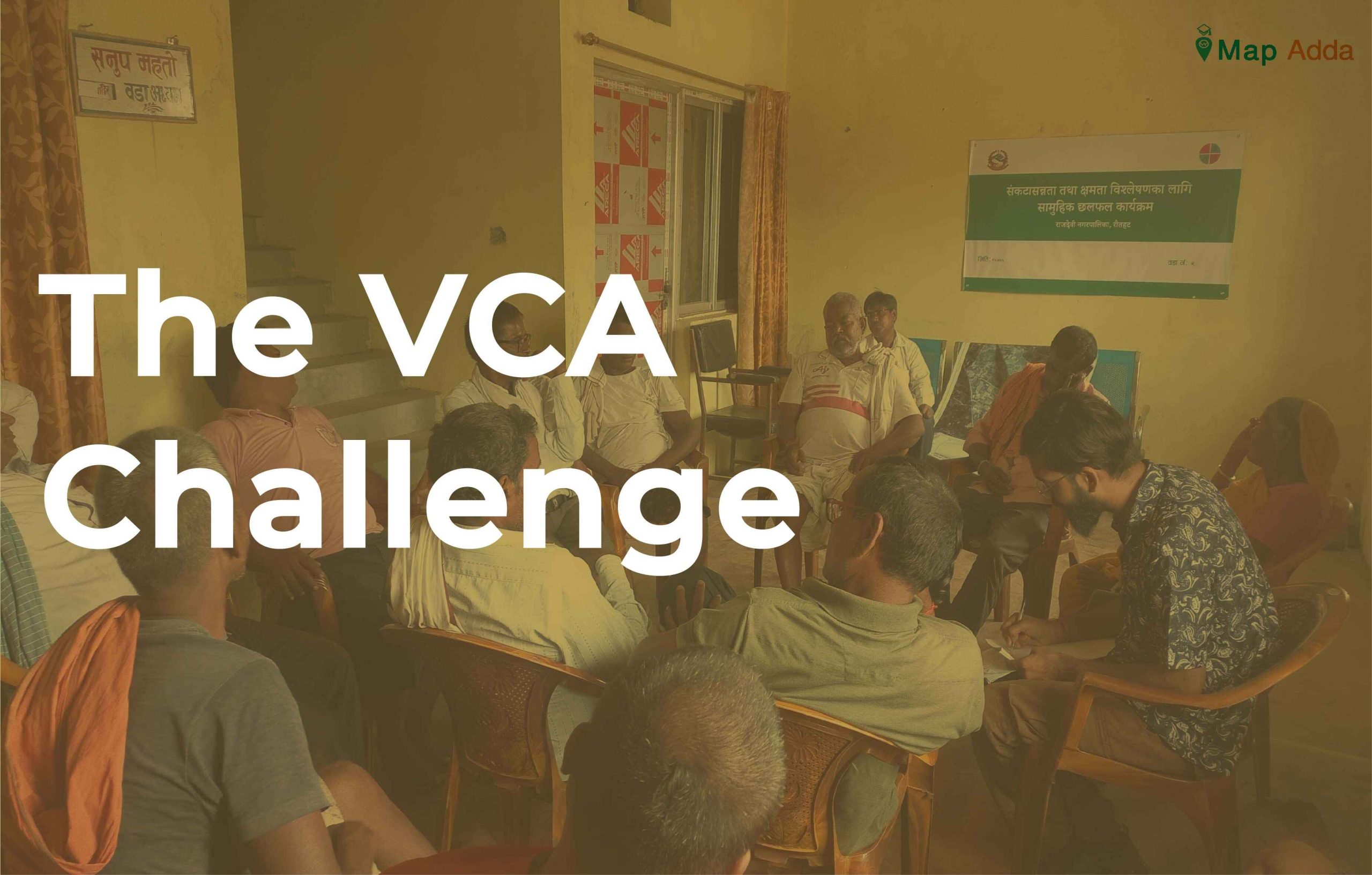
The VCA Challenge
This blog is about my experience and challenges that I faced while conducting Vulnerability and Capacity Analysis in Madhesh. The language, cultural difference, temperature, people’s expectation and overall all environment was challenging but finally I made it.