Time series data animation in QGIS
Time series analysis can be very effective in visualizing change of phenomenon over a period of time. In this tutorial we will be using maritime piracy incident data creating a […]

Time series analysis can be very effective in visualizing change of phenomenon over a period of time. In this tutorial we will be using maritime piracy incident data creating a […]

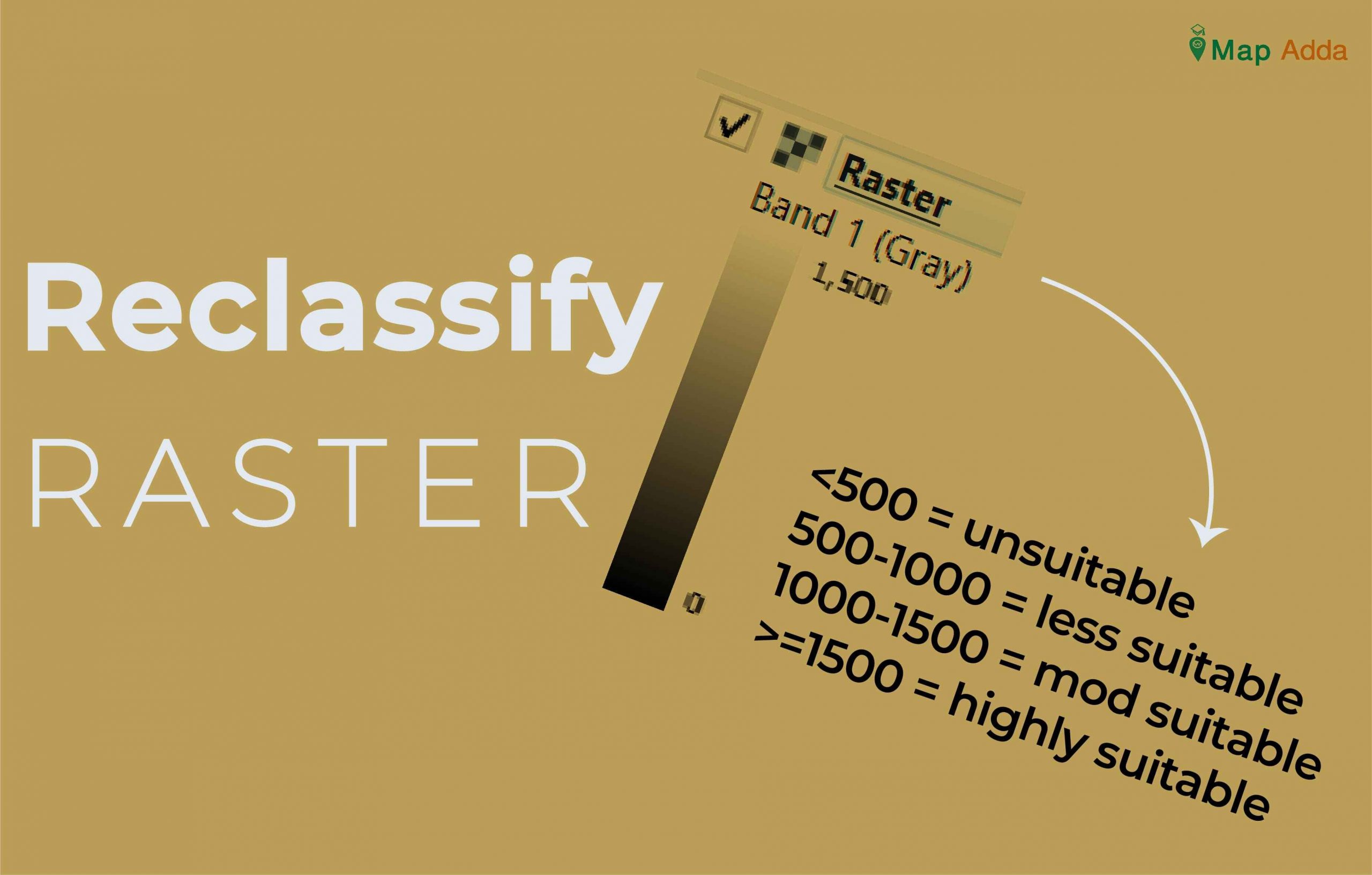
Reclassifying a continuous raster into discrete class is a very common analysis in GIS mainly done for site suitability and other multicriteria decision analysis. In this tutorial, we will be using raster calculator of QGIS to reclassify a road data into various classes for a site suitability. The concept presented here can be used to reclassify any kind of raster like slope, road, settlement, river data etc.

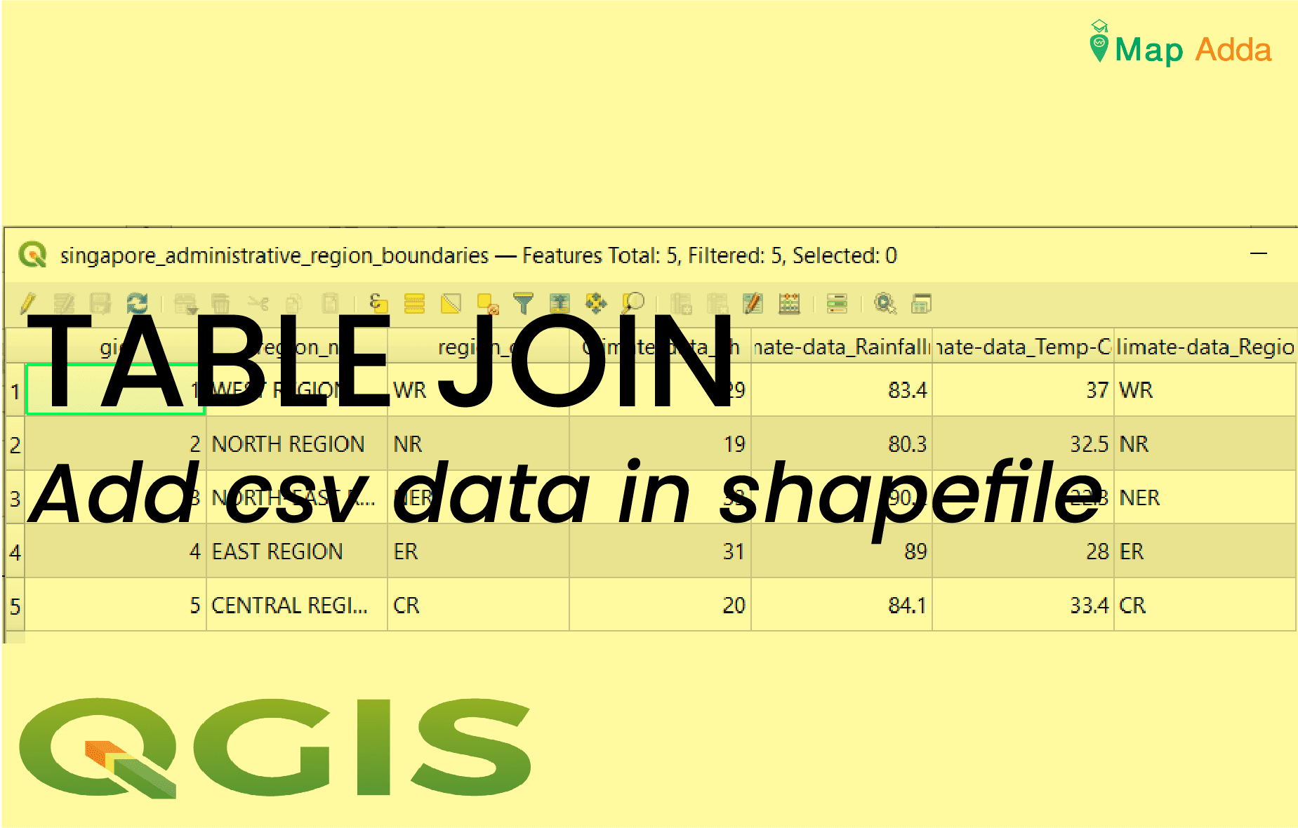
A join is usually used to attach more attributes to the attribute table of a geographic layer.

Projection is the process of transformation of higher dimensional space (3D) into a lower dimensional space (2D). If we talk about measurement, Projected coordinate system is more accurate than Geographic coordinate system. It is one of the frequently done task in GIS.

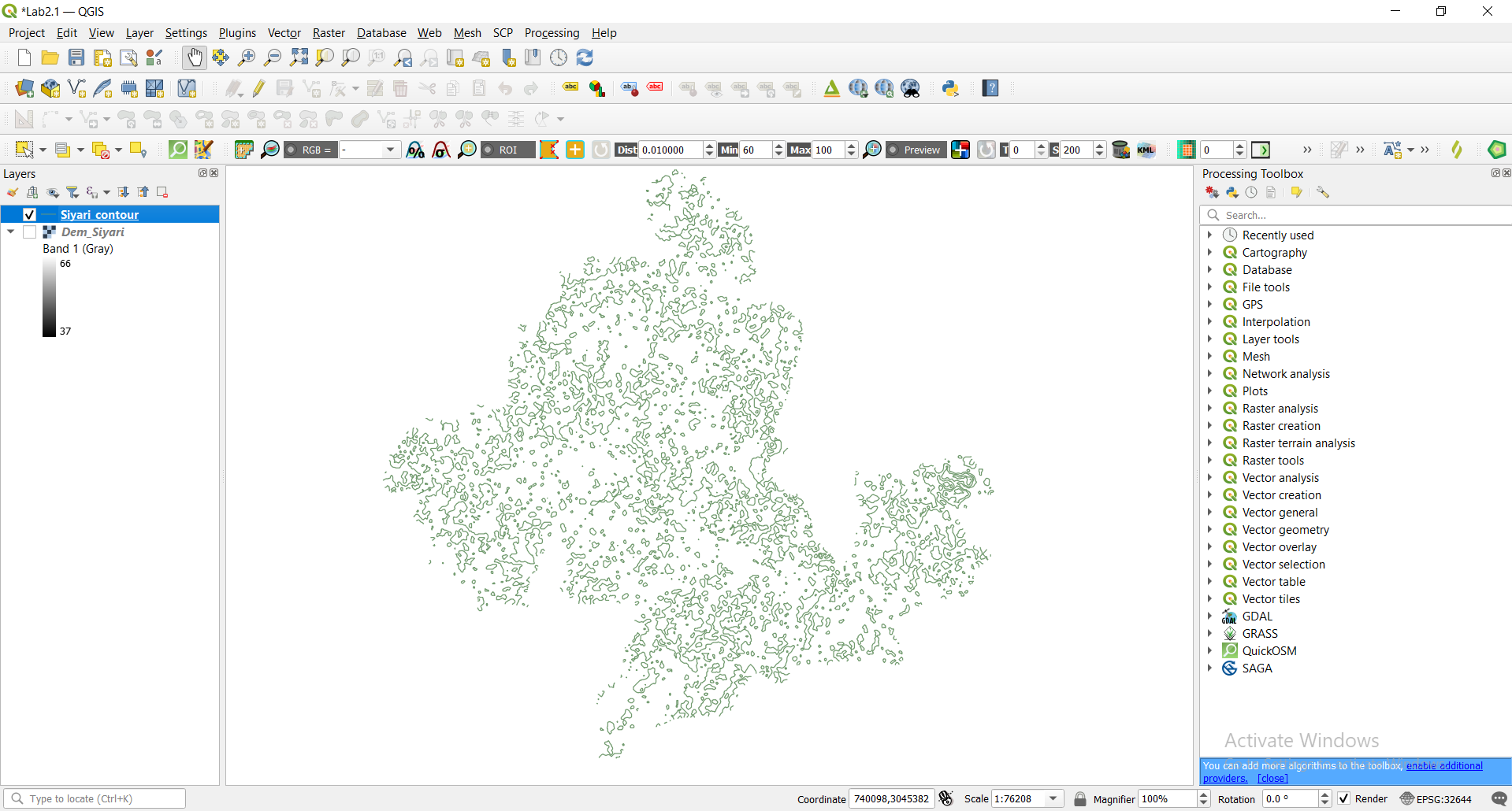
There are many methods or sources for obtaining contour like cartographic source (digitalization of old topo map), stereo-pairs, lidar data, photogrammetric methods, GIS softwares etc.
One of the data source for contour is Digital Elevation Model (DEM). In this tutorial we will learn how we can get contour through DEM in QGIS. Follow the following steps:

The main objective of this tutorial is to learn technique of generating slope from DEM. After getting slope we will also reclassify slope. We are going to do this in QGIS.

Our LULC raster has DN values in its pixels and we have labeled it by symbology under different classes like ‘WaterBodies’, ‘Forest’, ‘Urban’ etc. But unlike vectors we can’t directly store values in raster creating a new field in open attribute table explaining DN ‘1’ means ‘WaterBodies’ or something like that. Also raster with DN value meanings(like forest, urban etc.) can be used later to give rank to different classes in Multicriteria Decision Analysis.