There are many methods or sources for obtaining contour like cartographic source (digitalization of old topo map), stereo-pairs, lidar data, photogrammetric methods, GIS softwares etc.
One of the data source for contour is Digital Elevation Model (DEM). In this tutorial we will learn how we can get contour through DEM in QGIS. Follow the following steps:
Step 1: Load ‘Dem_Siyari’ data in your QGIS layers panel as shown below.
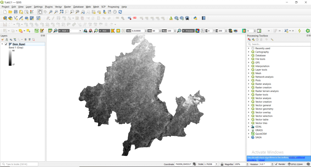
You can see that elevation ranges from 37 to 66 meters represented by black and white color.
Step 2: Go to Raster -> Extraction -> Contour
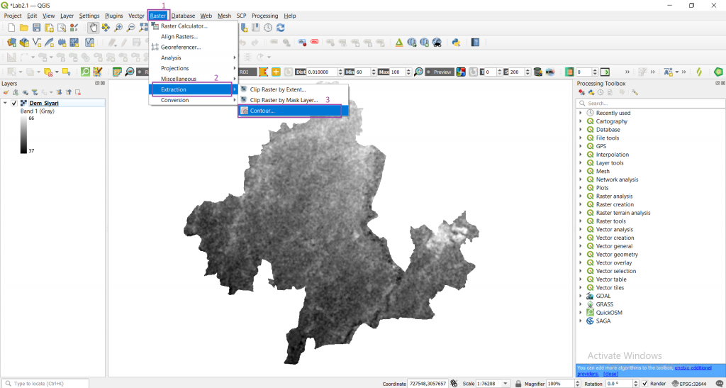
A window will be displayed like this.
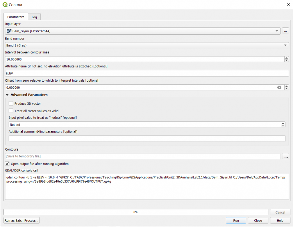
Now adjust the following settings parameter
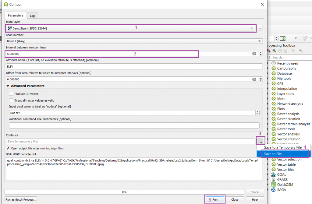
Step 3: Keep Input layer as ‘Dem_Siyari’, Interval between contour lines as 5, Save it to a file by clicking three dots icon in your desired directory with ‘Siyari_contour’ filename and finally click Run.
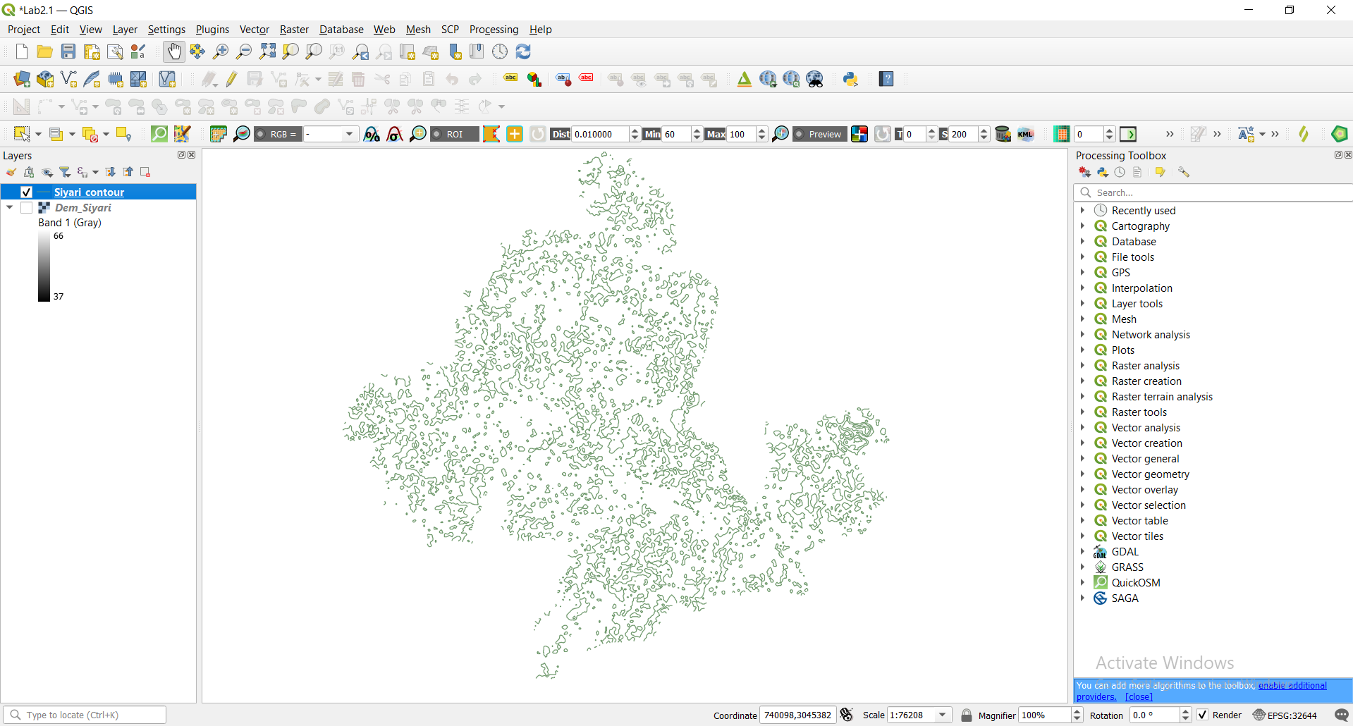
If everything goes right you will see following output.
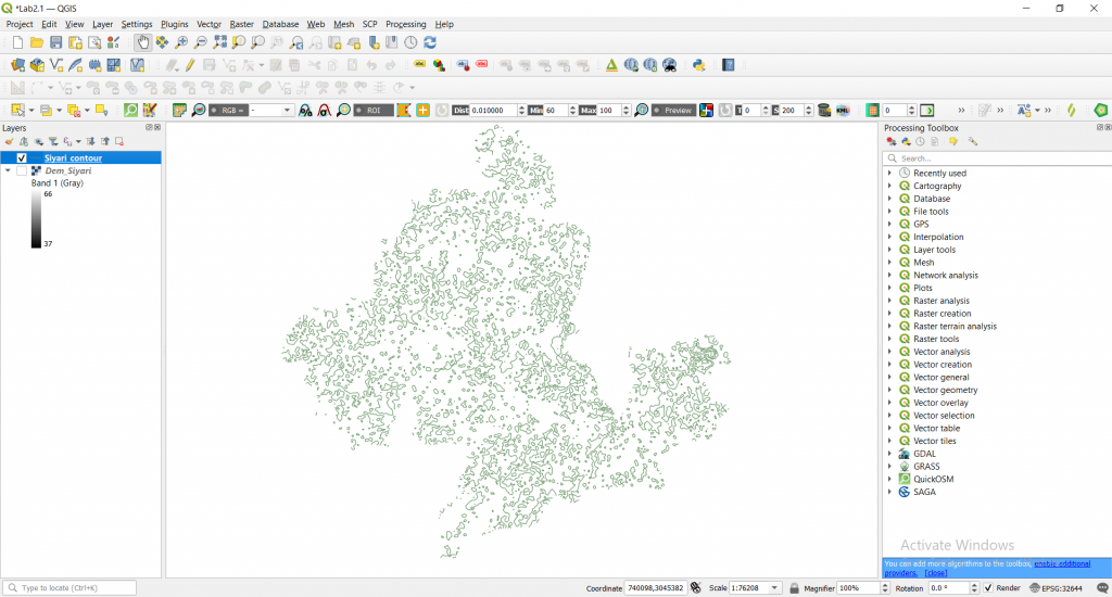
Step 4: Right click ‘Siyari_contour -> open attribute table.
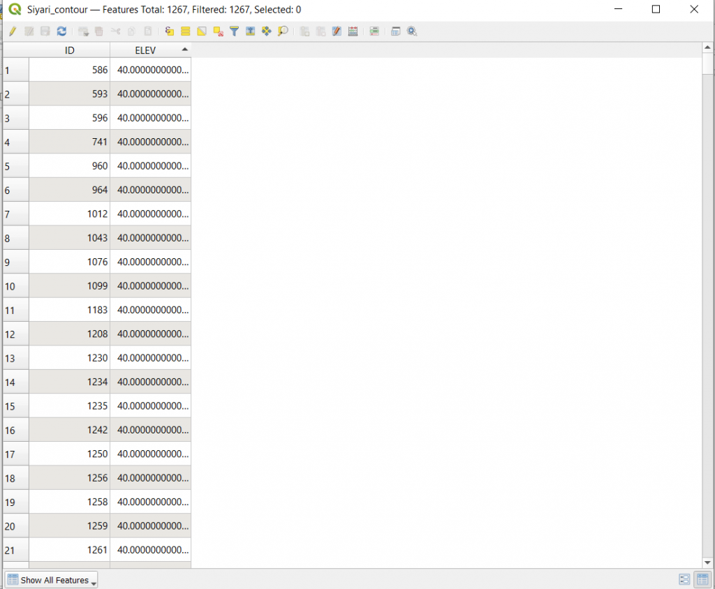
This is your required elevation and contour.
Thank you for reading this, for any queries we would love to read comments.



I think this is one of the most important info for me.
And i am glad reading your article. But wanna remark on some general
things, The website style is great, the articles is really excellent : D.
Good job, cheers