How was Nepal datum 1981 established ?
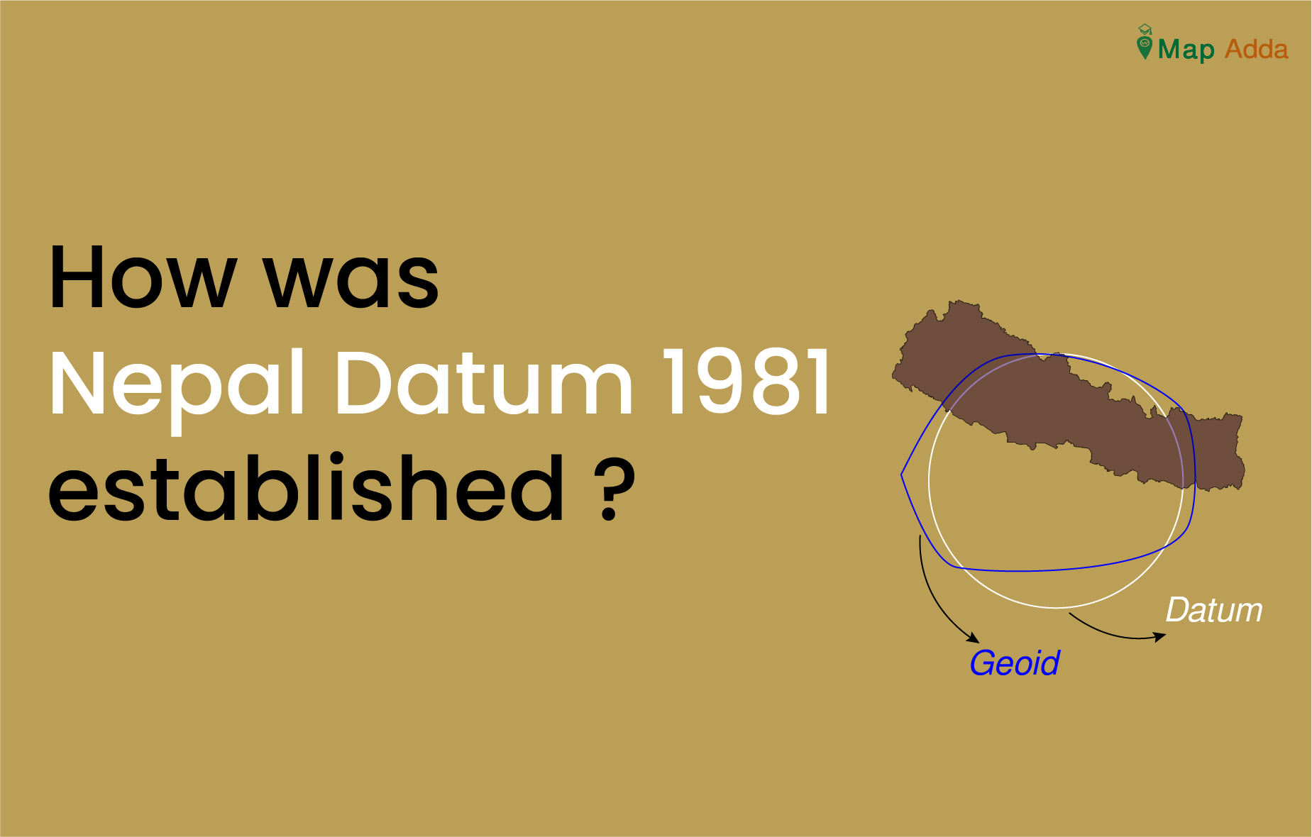
Nepal Datum was established with the collaboration of United Kingdom’s Directorate of Military Survey, Ministry of Defense (MODUK) by Survey Department of Nepal. It is a precise and comprehensive geodetic network of Nepal.
Despite having sufficient controls established by Survey of India(SOI) and other various institutions over that time it was not sufficient to meet the modern mapping and engineering demand. Due to this extensive geodetic network was needed and establishment of this network was undertaken by British Military Surveyors.