#PNSS #PondMapping is a tag used to map all ponds of Chhapiya in openstreetmap(osm).
This mapping task was born when I was working as a Geomatics Instructor in Public Namuna Secondary School(PNSS), a high school of Nepal in Siyari-4, Chhapiya, Rupandehi district. It was the time when my final year students had to do a project for partial fulfilment of diploma in geomatics engineering. Pond Mapping was the thought that directly entered in my head because the place was famous for fishery and ponds. Later on, I checked in osm and found that they were not mapped which now was our mission. Though we could have downloaded high resolution satellite imagery through SAS planet or other providers and do the project but we choosed osm with the sole reason of making data open so that everyone could use it for free.
At that time the local authority had attribute (non-spatial) data regarding pond but no spatial information. We wanted to solve a problem of recognization of real world ponds with real owners in a map. This would help Siyari Gaupalika for identification of true Pond owners and later help in tax collection, proper management and planning of ponds. The output of this project would also assist researchers of fisheries for ecological modelling, pond inventory and other applications.
How data were collected ?
My students were local of that area. They knew the area well. I trained them to use osm from browser then we started tracing the google earth base map with tags #PNSS #PondMapping. Since the ponds were used for fish we used the tags like aquaculture = fish, landuse = aquaculture, natural = water and water = pond.
Through this we could only get the shapefile of ponds but not the attributes related to ownership details. So, for this we also needed ground data collection visiting every ponds and collecting pond details. Before field mobilization we presented our ideas with ward officials and also acquired permission letter from them so that there won’t be any problem during data collection.
The data were collected through a web based GIS application called ‘SW maps’. The main reason for using this app was that we could upload shapefile easily here and we wanted to make sure that we won’t collect data beyond Ward-4. Other features of this app like GNSS based data collection, digitization, distance measurement and many more also pushed us to use this app.
A new project with a layer was created with attributes like Ownername, Address, Phone number, No. of ponds, Pond Area and Pond type. Point type vector data of each pond were collected by placing mobile phone very close to pond using GNSS record feature option. Field based data were later exported in shapefile form. Mapped data from osm were downloaded and then overlayed with point data in QGIS. Spatial join technique was applied to join the attribute information of point data in pond shapefiles.
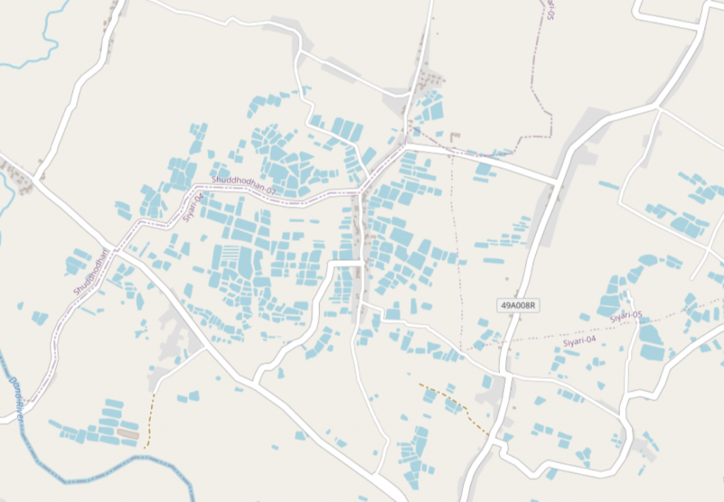
Fig 1: showing mapped area in openstreetmap.
Map layout
Map was prepared in 3/3 feet size and printed on a flex and was handover to respective local authorities of Siyari Gaupalika and ward representatives. Digital database of pond were also provided to them which can be used in ArcGIS and other software to perform analysis.
We also created a webmap using qgistoweb plugin of QGIS and later hosted in github which can be viewed from here.
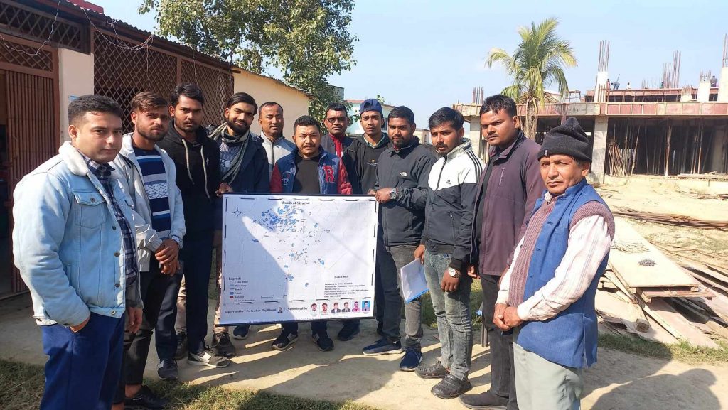
Fig 2: Handover of map to Siyari-4 Ward representatives with my students
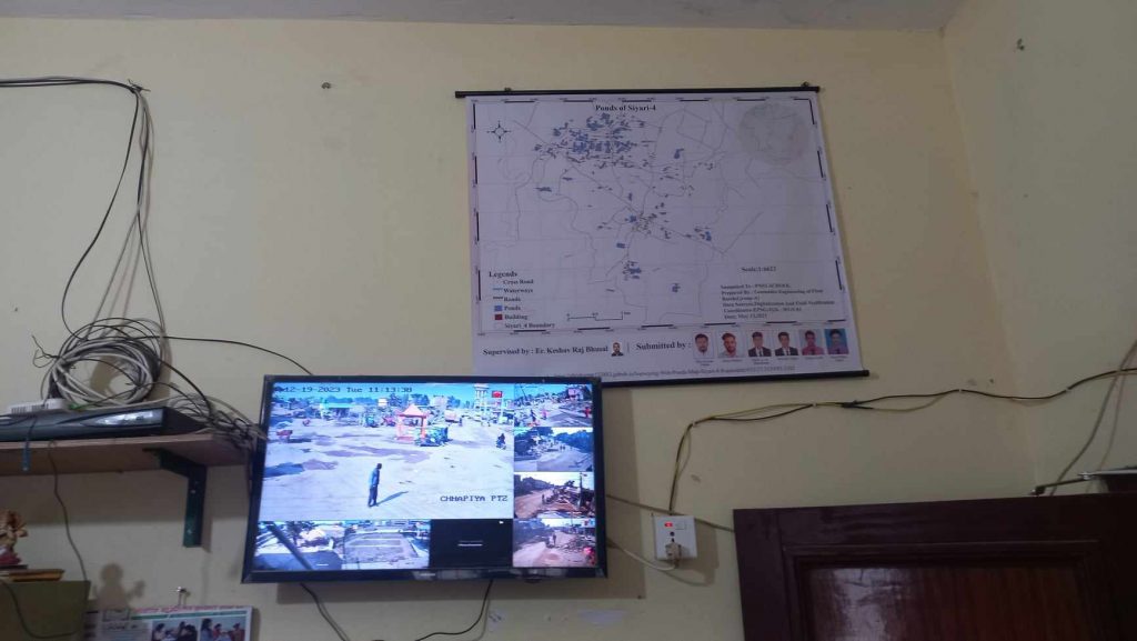
Fig 3: Map being kept on wall of office head of Ward-4.
It wasn’t easy to collect data in field because people weren’t ready to share their data thinking that we are from Survey office and would interfere with their land area however we convinced them. Overall, the project was satisfactory. My team really worked hard for data collection, osm mapping and GIS works. My rest of the sixth semester students of PNSS 076 batch also equally supported the project by mapping in osm. The output of the project would help stakeholders related to wetlands, local government and researchers for their respective purposes.


