Have you ever seen a map? What do you see?
You see color, shape, some text, symbols or icons, geographic reference layers and some other thing that tries to give some message. Map presents some information from the data.
Can you read a map? Professionally I’m a Cartographer and frequently show my maps to my friends. Somehow they manage to get the information from the map but they don’t understand all the things given in the map. It is not difficult to read a map but with some basics it can definitely be very easy.
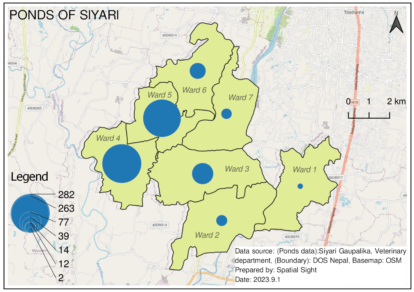
So, what are the things present in the map? What are the elements of the map? They are Map Body, Title, Legend, Inset map, scale, north arrow, Graticule, Base map, marginal information with data source, authors name etc.
Map face (Map body)
It is actually what you call a map and look for. It occupies almost 2/3 part of map surface. It generally has a boundary and some shape, size, color variations (visual variables).
Title
It is the name of the map. It tells what is the map about. Title is short and sweet. If the information of the map is too long and can’t be explained by title itself then subtitle is used. It is generally placed on the top of map layout.
Legend (संकेत)
It explains the symbols used in map face. The meaning of symbols used is elaborated by the legend. A map may or may not contain legend. If the symbols are self-explanatory and there is enough labelling of feature then it is not necessary to keep legend.

Scale
It is the ratio of distance on map to the distance on real ground. It means if we know distance of a map feature (which can be obtained by measuring through ruler or other measuring instrument) and scale we can also measure its actual ground distance.
Larger the scale features can be seen more distinctly and are zoomed in. Smaller the scale features are zoomed out and features are hard to recognize.
Various type of scale is used in map. They may be verbal or graphical. Scale varies according to map size.
Inset Map (Key Map)
It is a second kind of map face. It is generally used to show the geographic extent of our main map face so that audience having no idea about that place can also get some location reference. But if the audience are quite familiar with the place then it is not necessary to keep inset map.
Base map
It provides geographic background detail to the map face. It can be a satellite imagery, boundary layers of palika, wards etc. , tile layer service providers like Osm, Mapbox etc. Basemap should be used according to the context of map face. Suppose if the map is about trekking route then basemap showing elevation could be more suitable.
Graticule
They are the horizontal and vertical lines of latitude/longitude or easting/northing. The point of intersection of these two lines give us the coordinate (i.e location) of a map feature. Probably, you could have seen it on a standard topographic map (map that shows all the natural and artificial features of a place).
North Arrow
It is used to show direction normally. We can orient the map according to maps north direction arrow and navigate or follow the map accordingly. Like inset map if the audience is quite familiar with direction it is not compulsory to add this in map.
Data source, authors name
This part is found in lower most part of map with smallest font size of all. Data source is added so that audience gets to know who is the data provider and from there they can also get the data.
Map also has name of author or an organization (logo) who prepared that map. It is also important to keep this part so that people interested in such maps can contact those respective author or company.
Do you want to make your own map?
Maps can be prepared through GIS software, WWW, MS Excel and other various tools.
After reading this, I hope that you will be able to understand the map better. Want to learn more about maps? Do give me a hello at keshavrajbhusal.com.np.