Are you planning to study geomatics engineering ? but unsure if it’s the right path for you?
Don’t worry! you are in the right place. In this todays blog I’ll be sharing my own personal experience about studying geomatics engineering in Pashchimanchal campus, Lamachaur, Pokhara.
Let’s delve into the daily life of a geomatics engineering student to give you a clearer picture of what to expect and whether this exciting field aligns with your interests and aspirations.
Lab Work
Geomatics is all about lab + field work. In the lab, we utilize specialized equipment and software to process and analyze geospatial data. Geomatics Engineering lab works and projects encompass a wide array of tasks, demanding critical thinking, problem-solving skills, and proficiency in software tools like ArcGIS, QGIS, ENVI and WebGIS. Those tasks delve into practical knowledge, involving the analysis and interpretation of satellite imagery and geospatial datasets, often on a planetary scale. Through these hands-on experiences, students gain valuable insights into the field’s relevance and potential societal impact, honing their abilities to tackle real-world challenges in geospatial analysis and engineering.
All above lab work are based on theoretical lectures covering a range of topics such as geodesy, GIS(Geographic Information Systems), remote sensing, cartography, and land surveying techniques, land administration management and many too subjects which is scheduled by Institute of Engineering (IOE).

Field practicals
Geomatics engineering isn’t confined to the classroom. We frequently venture into the field to apply what we’ve learned in real-world scenarios. In Bachelor in Geomatics Engineering (BGE), field surveys play a significant role, with courses like Field Survey I and Field Survey II being integral parts of the curriculum.
Survey Camp I was an incredible experience, enhancing our theoretical knowledge through hands-on fieldwork and real-world applications. We did various practical activities like road survey, bridge survey and topographical survey for 10 days. The camp blended learning with fun, strengthening bonds with teachers and friends and significantly improving my teamwork skills. We enjoyed excursions beyond our college, gaining powerful insights into practical fieldwork.
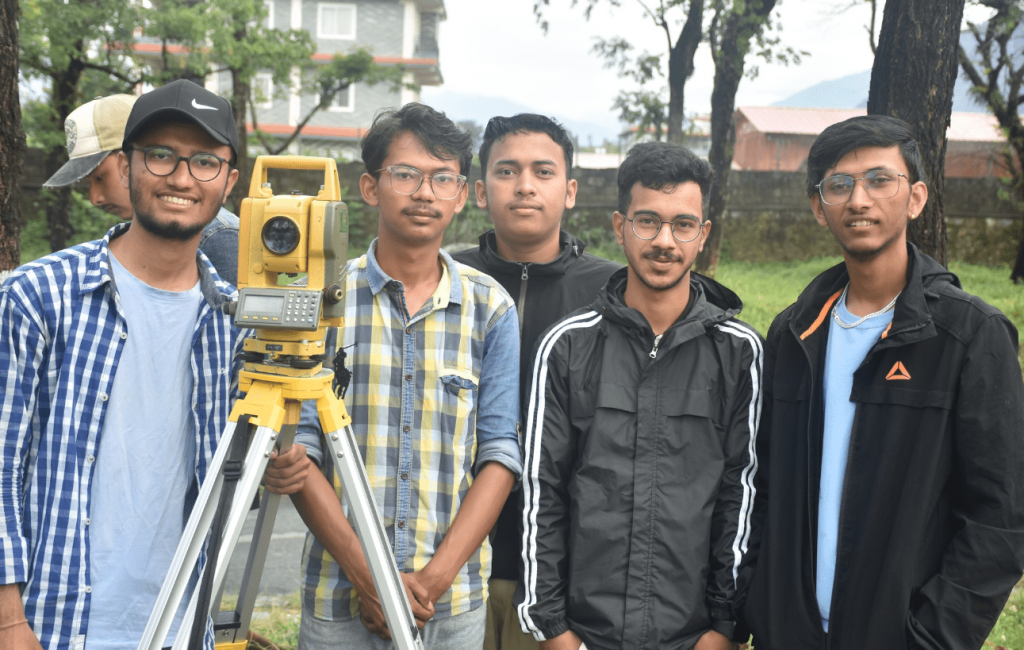
Survey Camp II was my second fieldwork experience, where we gained valuable knowledge about our theoretical subject. It lasted for 18 days. We learned about hydropower survey, cadastral survey, gps survey along with thematic map making and other cartography works.
Field trip
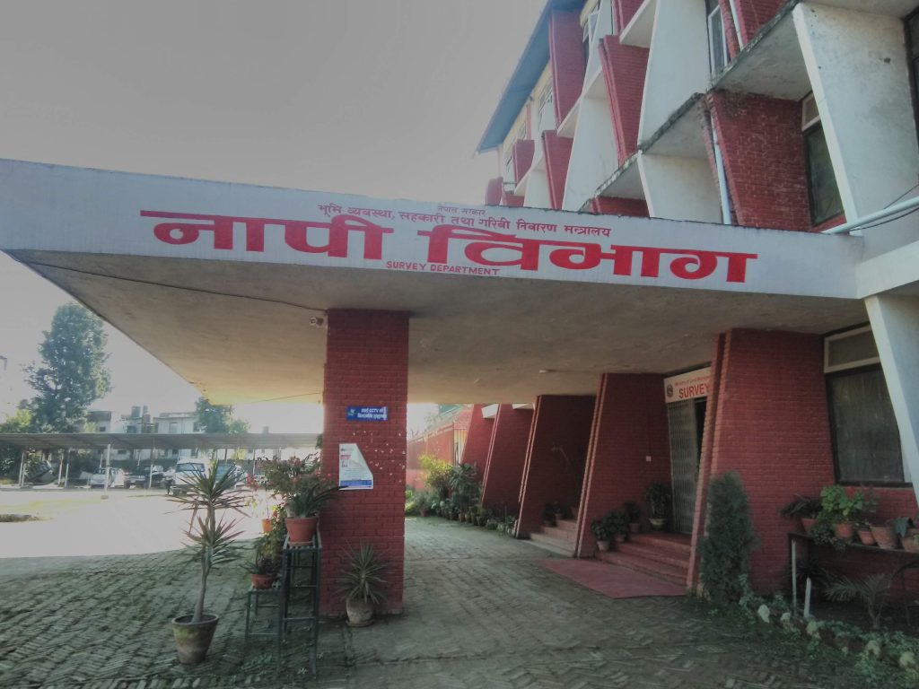
During third year we had a field trip to Kathmandu where we visited Survey Department, ICIMOD and Nagarkot. We had the golden opportunity to gain valuable insights into the workflow of the Survey Department at Minbhawan. By touring different sections of the office, our understanding of survey operations got deepened . Additionally, we visited the ICIMOD office in Khumaltar, Lalitpur, where we discussed the organization’s vision and mission. Our final mission took us to the Nagarkot observatory (Nagarkot Geodetic Survey Tower). The significance of the Nagarkot astronomical station, absolute gravity station, and other facilities enhanced our knowledge of Nepal’s surveying efforts. This experience enriched my life, providing fascinating and insightful perspectives on the historical development of surveying in Nepal.
Professional experience
I personally had the opportunity to visit Sundarbazar Municipality in Lamjung, Nepal, with the objective of leading data collection for the municipality. This was a rewarding experience where I leveraged ArcGIS and satellite imagery for comprehensive land use planning. Interacting with the local community to collect data significantly strengthened my communication skills. This hands-on experience was invaluable, enhancing both my technical abilities and my understanding of community engagement in the context of land use planning.

Final year project
It is often said that this project is a career deciding one. We have to submit a report in our fourth year to department on a specific theme utilizing our overall learnings. As I embark on my fourth year of academics, I am excited to prepare a final year project with meaningful outcomes that will be beneficial to the public. My goal is to create a project that utilizes maps, statistical data, and comprehensive reports to assist and inform the community. Throughout this year, I am confident that my courses will further enhance my knowledge and skills. Talking to the future, while success in monetary terms is uncertain, I am sure to ensuring that my knowledge, ideas, and capabilities contribute to concerned public development. Similarly, passion for nature also drives me to incorporate spatial data and personal etiquette to aid in its preservation.
To conclude, the journey of a geomatics engineering student is one filled with discovery, exploration, and boundless opportunities. From the initial uncertainties to the excitement of discovering its multifaceted applications, each step brings new insights and challenges. As we navigate through lectures, fieldwork, and lab sessions, we not only acquire technical skills but also develop a deeper appreciation for the intersection of technology, science, and creativity that defines this field. Whether it’s the thrill of conducting field surveys or the satisfaction of analyzing spatial data to solve real-world problems, geomatics engineering offers a fulfilling and exciting path for those who dare to pursue it.
So, to all aspiring geomatics engineering students, embrace the journey ahead. This is just a glimpse in geomatics engineering but there much more fun hidden.

